Snæfellsnes & Kirkjufell photo guide: the peninsula in one day
Snæfellsnes is the one peninsula in Iceland you can honestly photograph in a single day from Reykjavik — provided you drive it in the right direction. Kirkjufell is about 2.5 hours from the city, the full loop is roughly 450 km on Routes 54 and 574, and everything worth a tripod sits within twenty minutes of the road. Which order you drive the stops in decides what you come home with.
4 photo spots in Kirkjufell — click a pin to open the full guide
The loop at a glance
| Stop | Drive from Reykjavik | What you shoot | Best light |
|---|---|---|---|
| Kirkjufell & Kirkjufellsfoss | ~2 h 30 | The falls-and-mountain classic, aurora in season | Summer sunset, winter midday, any clear night |
| Stykkishólmur | ~2 h 15 | Painted houses, lighthouse island, ferry harbour | Soft afternoon light |
| Búðir | ~2 h 20 | Black church, lava field, glacier behind | Morning for the glacier, sunset for mood |
| Arnarstapi & Gatklettur | ~2 h 30 | Basalt cliffs, the arch, seabirds | Mid-morning |
| Lóndrangar | ~2 h 45 | Two sea stacks against the sky | Sunset |
| Djúpalónssandur | ~2 h 50 | Black pebbles, lava, wreck remains | Overcast |
Summer times; in winter add a third and check umferdin.is before leaving.
Kirkjufell: the classic angle, and how to leave it
The Kirkjufellsfoss frame
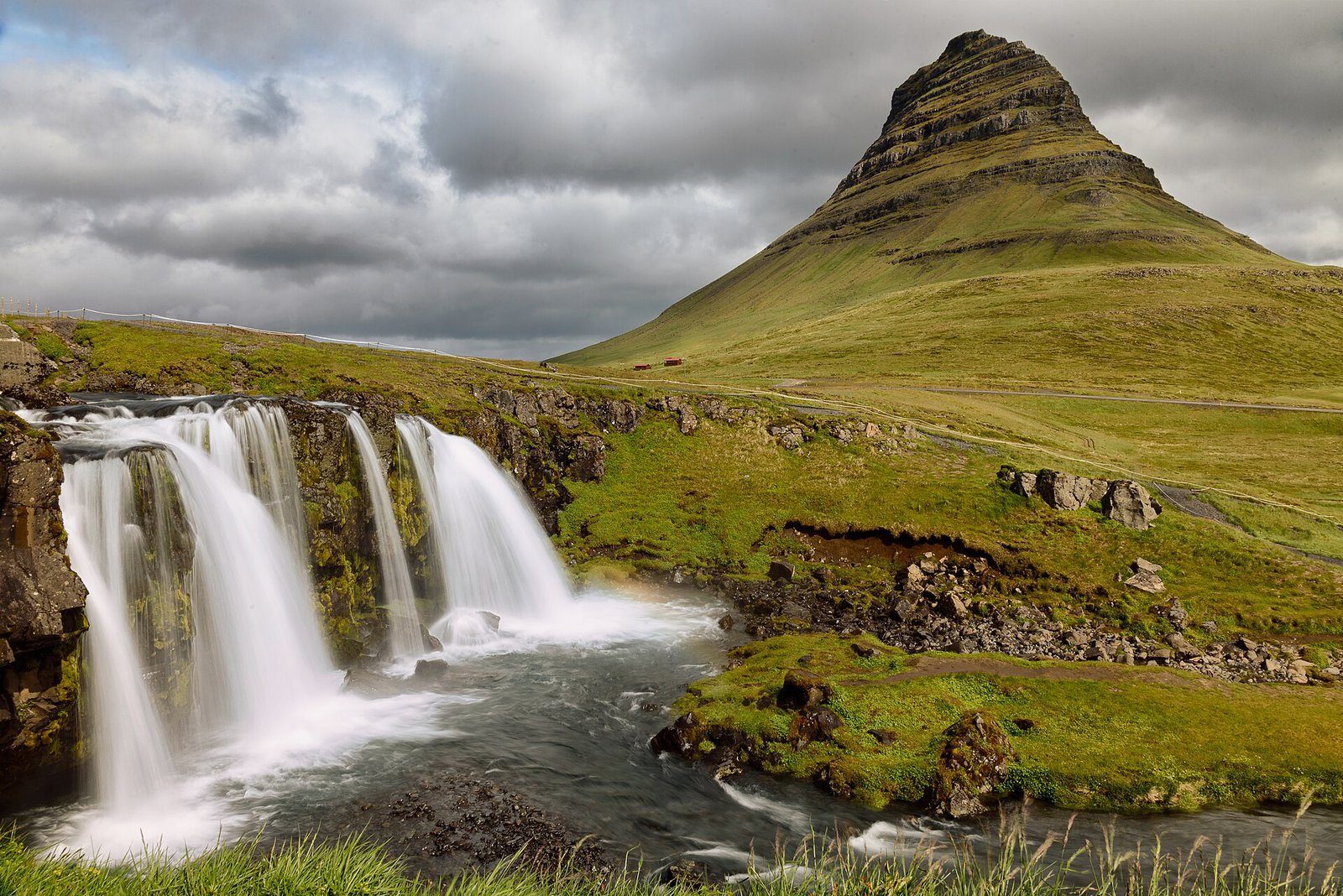
Kirkjufell is Iceland's most photographed mountain because the composition builds itself: from Kirkjufellsfoss, the small two-step waterfall across the road, the 463 m cone sits directly behind the falls. The frame looks north: in summer the sun sets behind the mountain from about 22:00; in winter it stays low in the south and front-lights the face all day — a five-hour golden hour.
Between 10:00 and 17:00 in summer the two viewpoints are shared with tour buses; arrive before 08:00 or after 20:00.
Three quieter angles
- From the town side. From the Route 54 pull-outs outside Grundarfjörður the pyramid flattens into the long ridge that gave the mountain its name, and on calm mornings it reflects in the fjord.
- The shoreline. A track from the campsite leads to the beach east of the mountain: the whole bay in front, nobody else on the stones.
- Grundarfjörður harbour. Trawlers, stacked nets and Kirkjufell behind them: the one angle that says working town rather than postcard.
The south coast: Búðir and Arnarstapi
Búðir black church
The black wooden church at Búðir stands alone in a lava field, with a golden beach beside it and Snæfellsjökull filling the horizon to the west. From the beach side you get church, lava and glacier in one frame: front-lit in the morning, backlit into the glow at sunset. The lava humps give real shelter from the wind — one reason most elopements happen here.
Arnarstapi cliffs and Gatklettur
At Arnarstapi the coast breaks into basalt columns, coves and the stone arch of Gatklettur, with kittiwakes and terns in the frame from May to August. The cliffs face south-east: mid-morning light fills the arch, late afternoon turns the columns into silhouettes against a bright sea. The coastal path to Hellnar (2.5 km) adds more arches and far fewer people.
The tip: Lóndrangar, Djúpalónssandur and the glacier behind everything
Lóndrangar are two basalt stacks, 75 m and 61 m high, standing off the cliff like a broken gate; from the viewpoint above the car park they go black against the western sky at sunset.
Djúpalónssandur is a black pebble beach reached through a lava gully, with rusted plates of a British trawler wrecked in 1948 still scattered over the stones. It is best under cloud: the polished pebbles and wet lava hold detail that sunshine flattens. Stay well back from the water — sneaker waves here are not a rumour.
Snæfellsjökull, the glacier volcano of Journey to the Centre of the Earth, is the backdrop to all of it and clearest in the morning; by mid-afternoon it usually wears its own cloud cap.
Stykkishólmur colours
The peninsula's prettiest town: painted timber houses, the Baldur ferry harbour and Súgandisey, the basalt island with an orange lighthouse you can climb in ten minutes for the view back over the roofs. A forty-minute detour east of Kirkjufell — give it forty minutes and no more; the coast is why you came.
What clients say about this kind of shoot
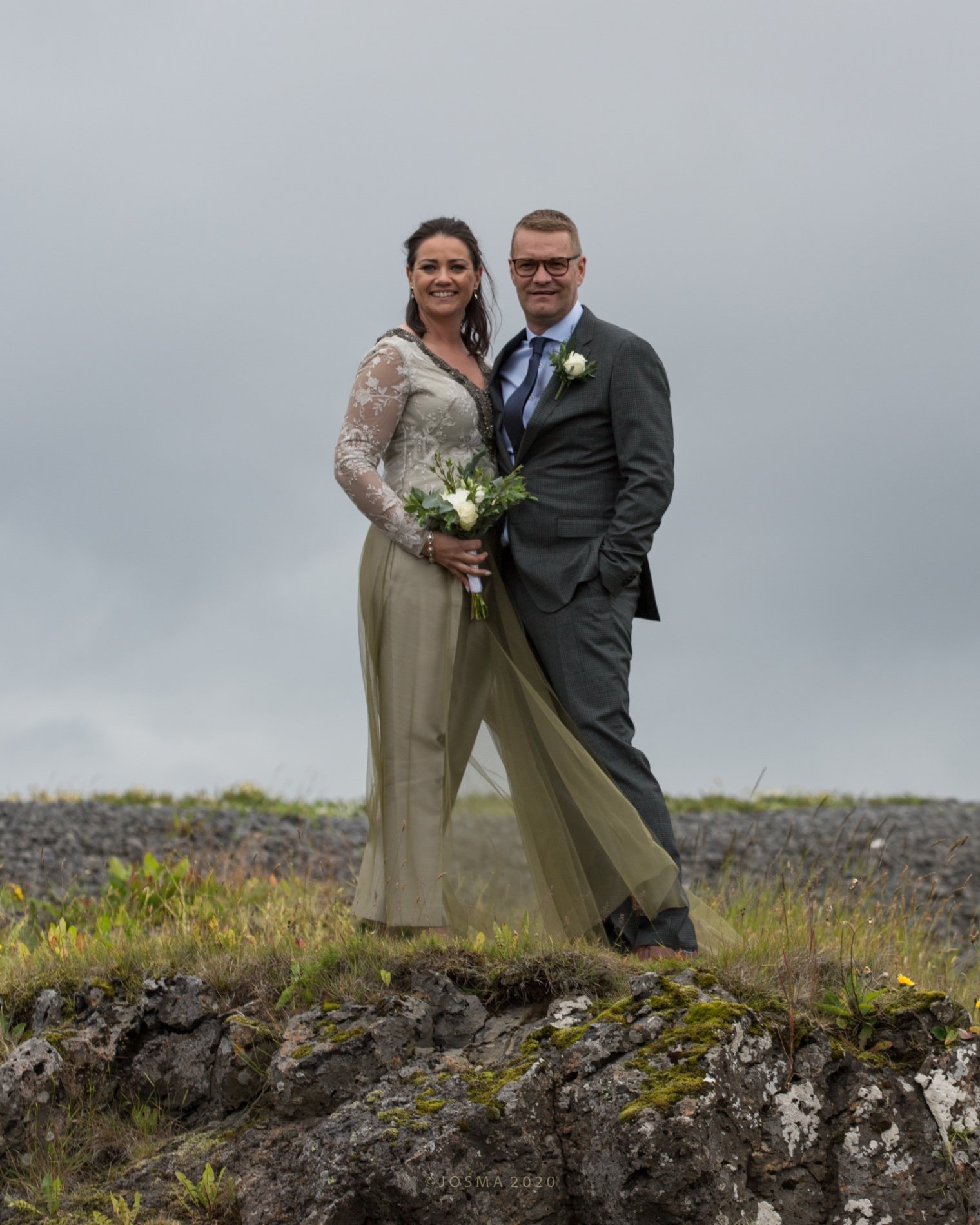
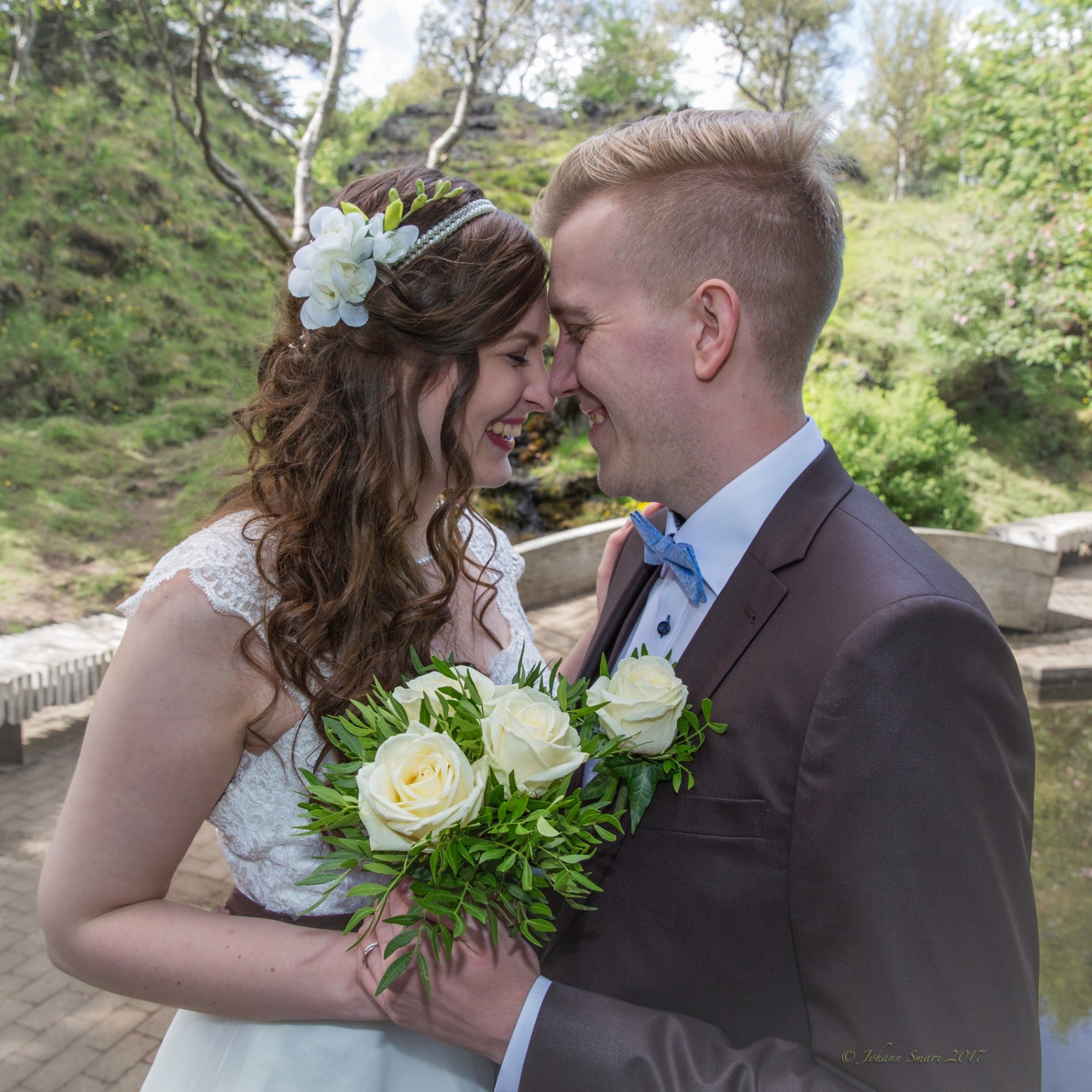
I am a part of a choir in Iceland, and we played a part in a JCS (Jesus Christ Superstar) production at Harpa in Reykjavík, Iceland. I asked my friend Johann Smári to attend the dress rehearsal and feel free to take some photos. The outcome was amongst these 4 photos here on the site and many more outstanding shots, which we use on posters and ads for our choir. And on top of it, Jóhann Smári is a good man and nice to have around.
— Gísli F. on Johann K.
I have done a few photoshoots with Smári and always have had a great experience. He is a great photographer and has such a good eye for great locations for the kind of photoshoot I had in mind. I am always surprised at how good the photos come out. If you are looking for someone with great experience on the best places to take photos, have worked in many events and all around great at bringing art to life, through lenses, then Smári is your guy.
— Marly G. on Johann K.
We absolutely love the photos Johann Smári took of us! He is professional, friendly, and made us feel so comfortable. We're so happy with the beautiful memories he captured. Highly recommend him!
— Kara & Gummi on Johann K.
This was such a wonderful experience to book on our last day in Iceland. Lisa was not only incredibly professional and talented as a photographer, but just so friendly and knowledgeable about Iceland's geography, lore and local intel, sharing so many anecdotes that it also felt like a private tour with a friend. It had a great personal touch — it felt like we experienced quieter spots of Iceland, away from the tourists. I lost track of how many times I smiled and laughed, and it was a perfect way to end the trip. If I ever come back to Iceland I will be booking Lisa again. Thank you, Lisa, for making our last day in Iceland truly magical ☆
— Adam on Lisa N.
Lisa was an absolutely amazing host! I loved how she was able to tailor the experience to me and let me explore little-known areas around the Golden Circle. She was funny, kind, super informative and an overall great person; she felt like a friend from the moment we met. I'm super excited to see the photos!
— KaRissi on Lisa N.
Loved it x1000! Lisa is super sweet and personalises the experience based on what you like. This was a great start to my solo trip — can't wait to see the pictures! She captured all my good angles and helped guide me on what to do ✨ Thank you, Lisa, till next time!
— Aniya on Lisa N.
Clockwise or anticlockwise: the light order
| Season | Direction | Why |
|---|---|---|
| May–August | Anticlockwise: south coast first, Kirkjufell last | Glacier clearest in the morning behind Búðir and Arnarstapi; finish at Kirkjufell for the sunset behind the mountain — around midnight in June, 22:00 in early August |
| September–October | Either — let the aurora forecast decide | Sunset moves west and side-lights Kirkjufell around 18:00–20:00; on a strong forecast finish north and stay after dark, otherwise finish at Búðir |
| November–March | Clockwise: Kirkjufell first, Búðir last | Sunrise (as late as 11:30 in December) lights the face at the falls; the tip gets the low midday sun over the sea; Búðir takes the sunset side-on, and the road home is shorter |
Either way the loop closes over the Vatnaleið pass (Route 56); clockwise crosses it first thing, in the dark in winter, and ends on the shorter road home from Búðir — what you want when the day has six hours of light.
Aurora over Kirkjufell
Because the classic frame looks north over the sea, Kirkjufell is the rare Icelandic icon where the aurora appears exactly where the camera is already pointing. From September to early April, on a clear night with a forecast of KP 2 or higher, expect company on the path — and ice; microspikes are not optional. The northern lights photoshoot guide has the camera settings and the realistic odds by month.
Wind: the factor that actually decides the day
Snæfellsnes takes the Atlantic head-on. The tip and the stretch of Route 54 under Búlandshöfði between Ólafsvík and Grundarfjörður are the gustiest, and the Vatnaleið pass can close in winter storms. At 15 m/s a veil is a kite and a tripod needs your body as a windbreak; at 20 m/s rental car doors get bent back and photographers cancel. Check vedur.is the evening before and treat the sheltered spots — the Búðir lava, Grundarfjörður harbour, the Arnarstapi coves — as the plan, not a compromise.
Where a couples or elopement session fits
Don't ask a photographer for the whole loop: a session is two to three hours of light, not seven hours of driving. Pick one cluster.
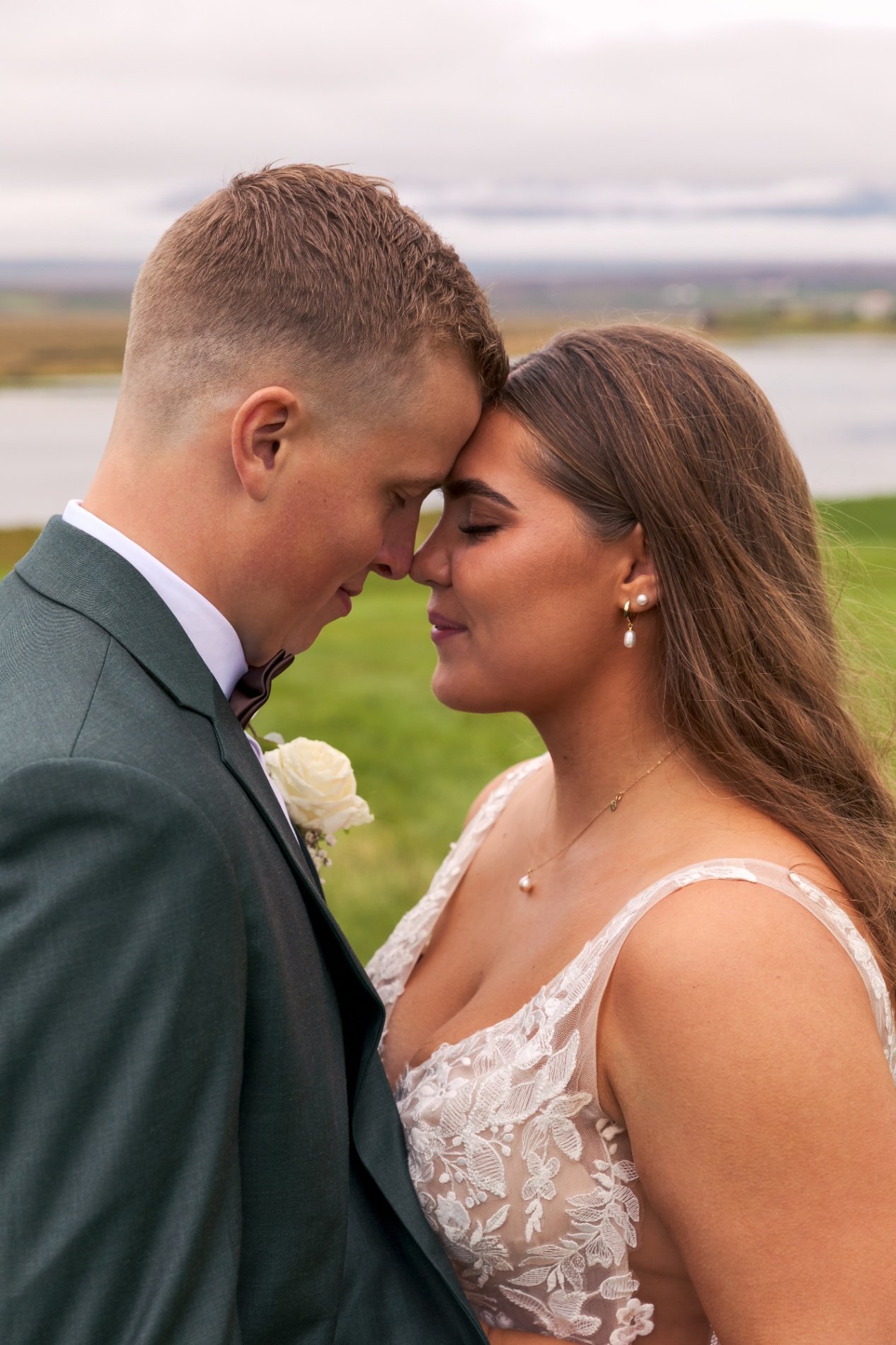
- South coast (Búðir + Arnarstapi): the strongest elopement combination in Iceland — church and lava for the vows and portraits, cliffs and arch for the wide frames, glacier behind both.
- North coast (Kirkjufell + harbour): the recognisable icon for a couples session, done early to beat the buses, plus the harbour and shoreline angles nobody else has — and the aurora session in season.
Reykjavik-based photographers add travel time for Snæfellsnes; a few live on the peninsula and know the wind pockets by name. Browse photographers by location and say which cluster you want.
Practical notes
- Fuel up at Borgarnes, Ólafsvík or Stykkishólmur; the tip has nothing.
- Kirkjufellsfoss parking is paid; most other stops are free.
- Drones need a permit inside Snæfellsjökull National Park (the whole tip).
- Ceremonies inside Búðir church go through the parish; the exterior needs no permit.
Frequently asked questions
Can you photograph Snæfellsnes and Kirkjufell in one day from Reykjavik?
Yes: Kirkjufell is about 2.5 hours from the city and the full loop is roughly 450 kilometres. Drive it anticlockwise in summer to finish with the sunset behind Kirkjufell, clockwise in winter to catch the late sunrise at the falls. A photo session, though, is one cluster, not the whole loop: either Búðir and Arnarstapi or Kirkjufell and Grundarfjörður harbour, in two to three hours of light.
When is the light best at Kirkjufell?
The classic frame from Kirkjufellsfoss looks north, so in summer the sun sets behind the mountain from about 22:00, around midnight in June. In winter the sun stays low in the south and front-lights the face all day, though December gives only four to five hours of it. Arrive before 08:00 or after 20:00 in summer to avoid the buses. From September to early April the aurora appears exactly where the camera already points, on a clear night, never guaranteed.
Is Snæfellsnes too windy for a photoshoot?
Often windy, rarely impossible. The tip of the peninsula and the road under Búlandshöfði are the gustiest; at fifteen metres per second a veil becomes a kite and at twenty photographers cancel. Check the forecast the evening before and treat the sheltered spots as the plan rather than a compromise: the Búðir lava field, Grundarfjörður harbour and the Arnarstapi coves. Keep a backup slot, and remember that drones need a permit inside the national park at the tip.
Want professional photos at Kirkjufell?
Browse portfolios, compare packages, and book a verified local photographer in minutes.