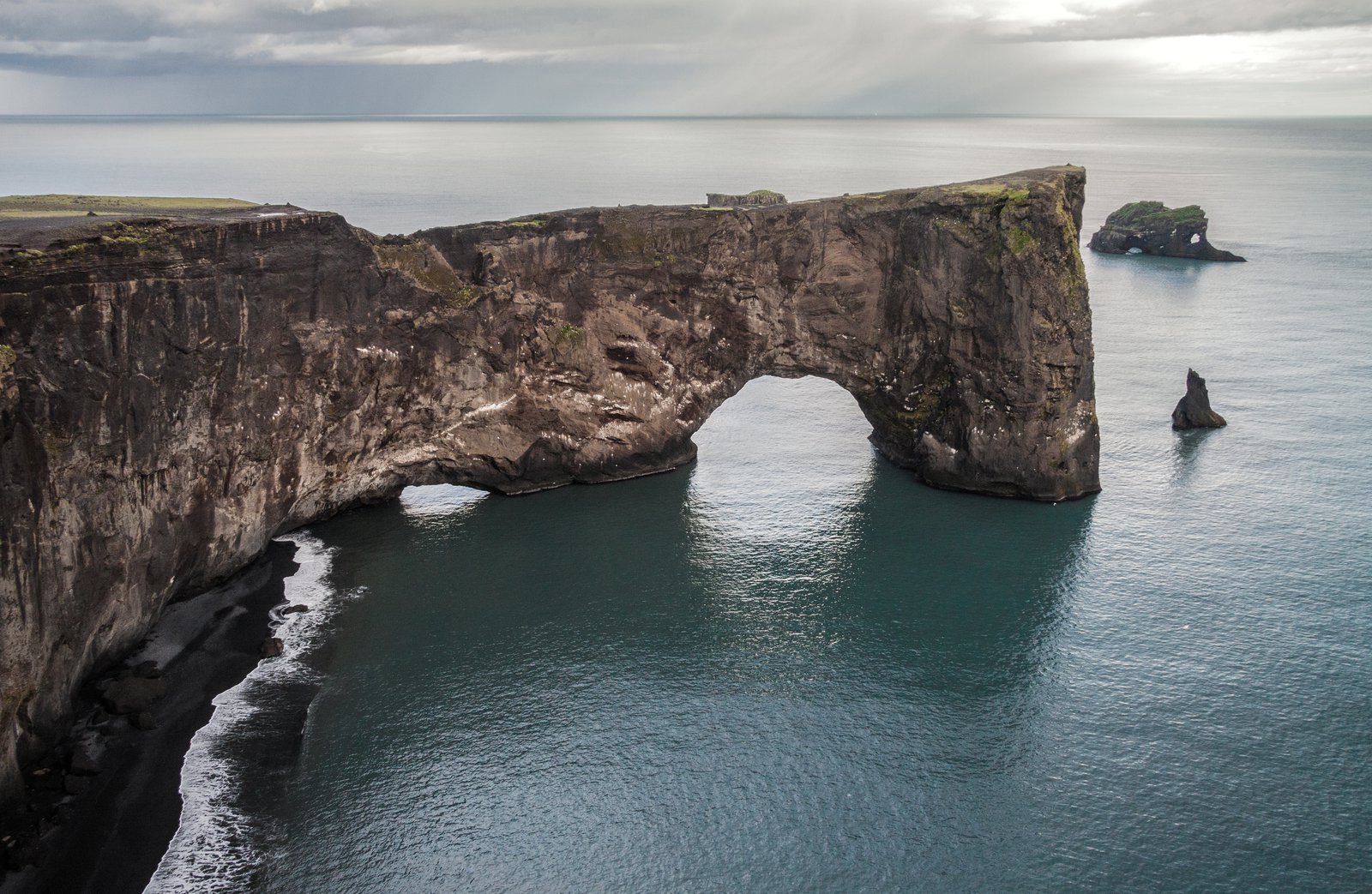
Lieu photo à Dyrhólaey
La falaise du phare
Le niveau supérieur, au bout d'une piste raide, avec le phare blanc, l'arche en dessous et des glaciers à l'horizon intérieur.
À propos La falaise du phare
ItinéraireOn atteint le plateau supérieur par une piste courte, raide et rugueuse qui monte depuis l'embranchement — une voiture à bonne garde au sol ou un 4×4 est le choix raisonnable, et la route ferme par mauvais temps et parfois pendant la saison de nidification. En haut, un phare blanc et trapu occupe le point culminant du promontoire, avec l'arche marine juste en dessous côté mer et, par temps clair, la calotte du Mýrdalsjökull à l'horizon derrière.
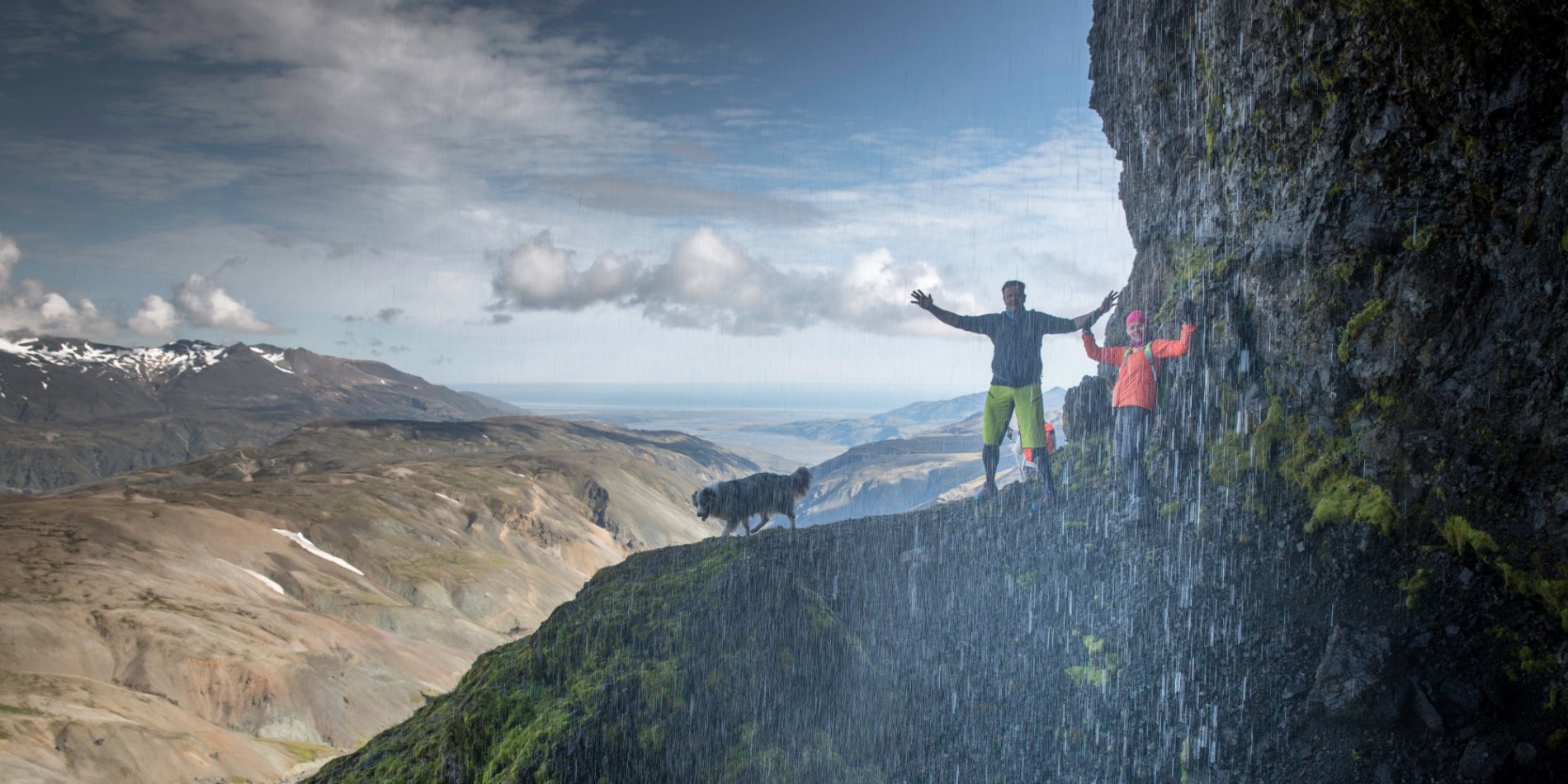
Le phare apporte ce qui manque au reste de la côte sud : une construction pour ancrer un cadre. Détachez-le sur le ciel ouvert, vu d'en bas, pour une silhouette graphique, ou gardez-le petit dans un coin, le couple au bord de la falaise — largement en retrait — pour donner l'échelle. Le coucher du soleil depuis ici embrasse l'arche, la plage et les aiguilles d'un seul mouvement.
C'est le point le plus venté d'un promontoire venté : les rafales y déséquilibrent une personne, et la falaise est sous-cavée. Personne ne travaille près de la lèvre, et un voile ou une robe longue réclament une main et un plan. Vérifiez l'état de la route et la fermeture en vigueur pour la nidification avant de bâtir une séance autour de ce niveau.
Meilleur moment pour photographier
Le coucher du soleil en été ; n'importe quelle heure claire en hiver
Conseils
Gardez le phare petit dans le cadre, le couple en retrait du bord — il se lit comme une échelle, pas comme un sujet. Vérifiez d'abord l'état de la route et la fermeture.
Travaux récents à Dyrhólaey
Portfolios de photographes qui couvrent ce secteur
Photographes qui travaillent à La falaise du phare
Professionnels triés sur le volet qui travaillent à Dyrhólaey
Avis authentiques de séances à Dyrhólaey
Marly G.
J'ai fait plusieurs séances photo avec Smári et j'ai toujours eu une excellente expérience. C'est un excellent photographe et il a un très bon œil pour trouver de superbes lieux correspondant au type de séance photo que j'avais en tête. Je…
Johann K.
Photographe
Gísli F.
Je fais partie d'une chorale en Islande, et nous avons participé à une production de Jesus Christ Superstar à Harpa, à Reykjavík. J'ai demandé à mon ami Johann Smári d'assister à la répétition générale et de prendre quelques photos s'il en…
Johann K.
Photographe
Autres lieux à Dyrhólaey
Le plateau inférieur
Le niveau facile, accessible avec n'importe quelle voiture, avec la vue vers l'est le long du sable noir jusqu'aux aiguilles de Reynisdrangar.
L'arche depuis la baie occidentale
La vue de profil du trou-porte lui-même, avec le ressac qui passe par l'ouverture et les aiguilles au-delà.
Les falaises à macareux, de mai à août
Des bords de falaise herbeux où les macareux nichent tout l'été — longue focale, belvédères balisés et fermetures à vérifier avant de venir.
Prêt à réserver ?
Notre équipe concierge choisira 2-3 photographes qui connaissent La falaise du phare — gratuitement.